
Layton ZIP Codes and Their Reach
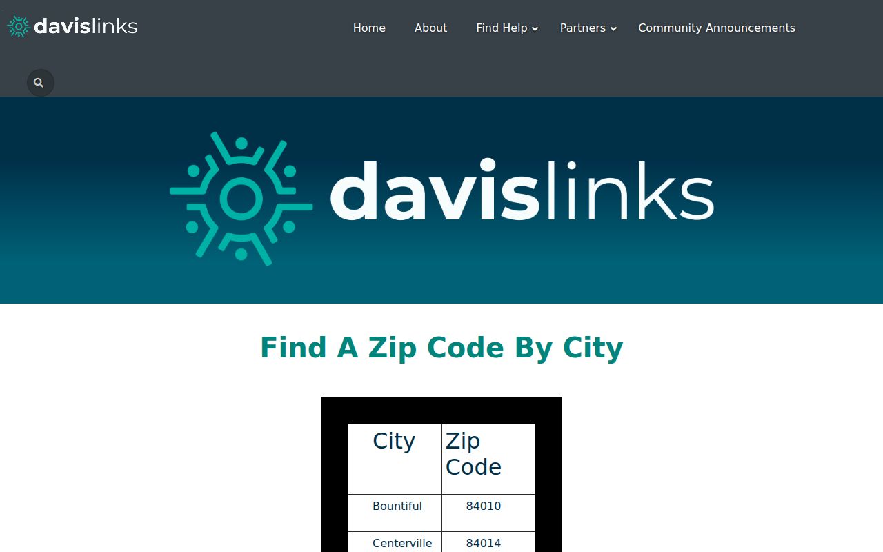
Davis County’s official city-by-ZIP table lists Layton under 84040 and 84041. It does not publish a complete neighborhood polygon, post-office station assignment, or exact street-by-street crosswalk. Each ZIP code directory entry should therefore be treated as a local label to verify, not a claim that every address inside a shape belongs to one city.
| ZIP Code | Areas Covered | Post Office | Notes |
|---|---|---|---|
| 84040 | Layton row in Davis County city-by-ZIP table | Not located in inspected sources | Verify exact street with USPS |
| 84041 | Layton row in Davis County city-by-ZIP table | Not located in inspected sources | Separately counted in the 2025 county report |
The county report’s separate 84040 and 84041 counts are an administrative snapshot, not an address-level resident count. No inspected source verified a Layton PO-box-only or unique institutional ZIP, a realignment year, or a station assignment.
Finding Layton Records by ZIP Code
ZIP filtering is uneven. The statewide Utah business-data request supports ZIP, NAICS, status, entity type, recent changes, and 31-, 90-, or 365-day windows. Voter data can include ZIP and address fields in a paid statewide product. The assessor landing page confirms owner, address, parcel, and document-entry searches but does not confirm a ZIP-wide filter in its text. GIS is map-based.
- Confirm the exact delivery label with USPS using street address, city, and state.
- Use the county city-by-ZIP row as a local comparison, then record the date.
- Use a lawful business or voter data product only when its ZIP fields and access terms fit.
- Once the ZIP narrows to a street, continue with the Layton by-street records workflow.
A ZIP narrows geography but does not name every person in it. Parcel and street work needs a separate address search, and a public voter lookup still requires a known person and complete fields.
Layton ZIP Code USPS Check
The official USPS ZIP Code Lookup accepts street address, city, and state. It standardizes the address and returns the delivery result, which may include ZIP+4. That is the right source for mailing correctness. It is not a historical boundary database and does not prove that the address lies inside Layton’s incorporated limits.
Run a blank, address-specific check at the USPS ZIP Code Lookup.
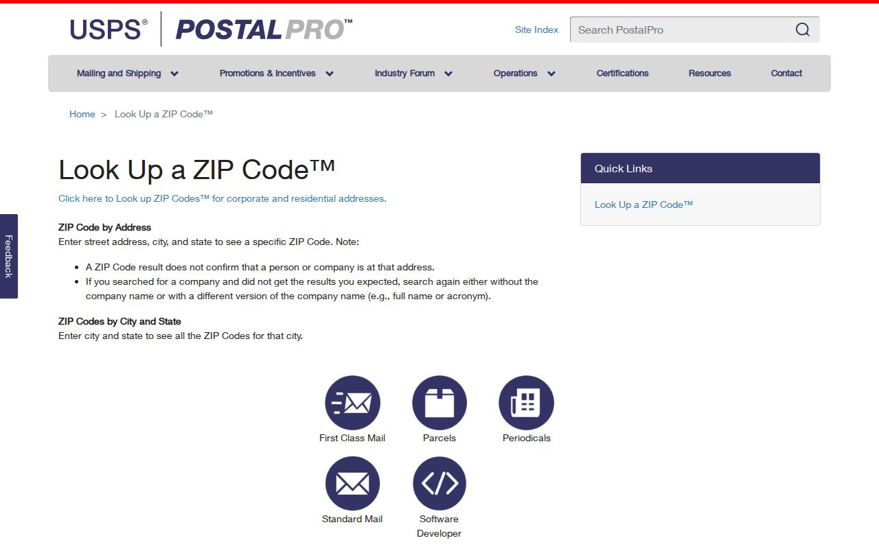
Preserve the address entered and the date. If the USPS result differs from the county city-by-ZIP label, keep both and ask the relevant addressing authority.
The result should be cited as a delivery answer, not as a resident or municipal answer. A ZIP+4 can sharpen a mailing segment, yet it still does not disclose a household list. For a family-history search, carry the standardized result back to the street, parcel, newspaper, or city-directory source that can supply a dated human or land clue.
If a source presents only a city name beside 84040 or 84041, do not assume that the label describes the incorporated boundary. The county row, USPS response, Census geography, and parcel map have distinct custodians and purposes. Keeping those labels side by side is the most accurate way to describe a Layton address near an edge or a record from an older place name.
Layton ZIP Code and ZCTA
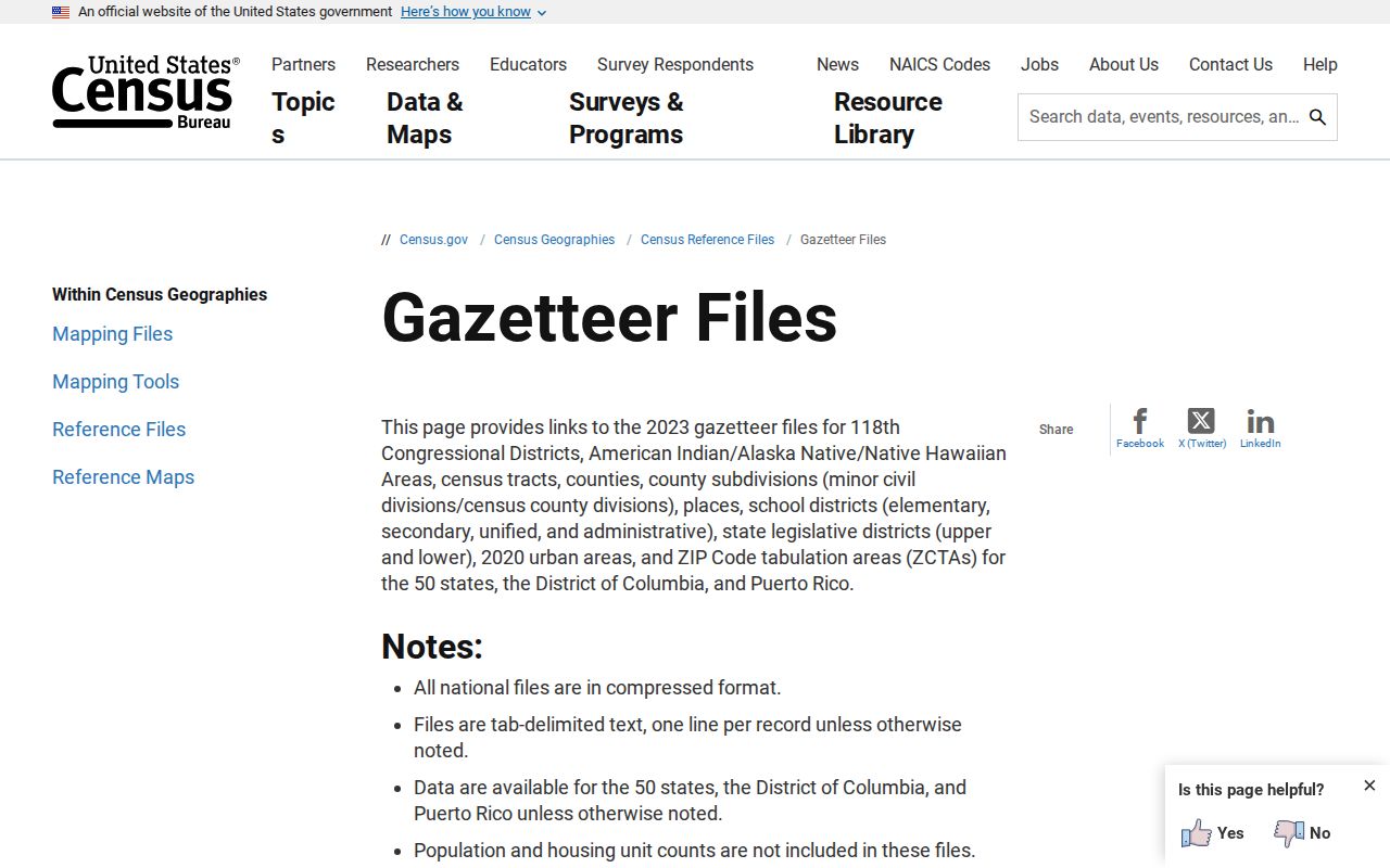
Census ZCTAs are built from 2020 Census blocks. They help compare demographic and geographic data, but they are not the same as USPS delivery boundaries. A ZCTA map should never be used as the final answer for a particular Layton mailing address or as proof that a person lives within a city line.
Read the Census ZCTA reference-file page for the statistical geography distinction.
Layton ZIP Table from Davis County
The county’s city-by-ZIP table is a useful local cross-check because it places Layton under 84040 and 84041. It does not publish a full polygon or every neighborhood assignment. Use its city label beside the USPS delivery result and the parcel or GIS jurisdiction.
Compare the local row at Davis County’s city-by-ZIP table.
When sources disagree, document the disagreement. A clean note names the street, city label, ZIP, parcel jurisdiction, source URLs, and access date.
Layton ZIP Code Business Filters
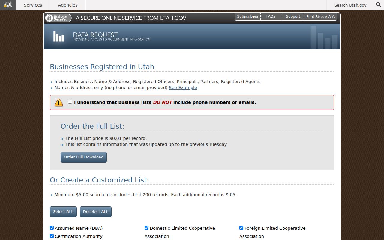
Utah’s statewide business-data request supports ZIP, NAICS, registration status, entity type, new registrations, and recent-change windows of 31, 90, or 365 days. A full list is priced at $0.01 per record. A custom request has a $5 minimum for the first 200 records, then $0.05 for each additional record. The published full-list description does not include phone or email.
Review the filters at the Utah business-data request page.
Business principals, registered agents, and addresses show filing relationships. They do not prove that an individual lives at the business address.
ZIP filters are also date-sensitive. The business service’s recent-change windows describe filings during a selected period, not every entity that ever used a ZIP. Keep the selected window, entity type, and status with the result.
The state business-data route is a separate access channel from property or postal lookup. A full list is priced per record, while a custom request has its own minimum and additional-record pricing. The published full-list description does not include phone or email, so do not promise contact fields when explaining what a ZIP-filtered filing search can return.
ZIP Code Labels and Layton City Lines
A ZIP code is a postal delivery label, not a legal city boundary. Census ZCTAs are statistical areas built from 2020 Census blocks, so they should not be presented as exact USPS service areas. The county table, USPS result, and parcel jurisdiction can disagree at an edge. Report the disagreement rather than “correcting” one source by inference.
- ZIP versus ZIP+4
- ZIP identifies a delivery area; ZIP+4 adds a more precise delivery segment.
- PO-box ZIP
- A postal label used for post-office boxes rather than a normal street route.
- Unique ZIP
- A code assigned to one institution or highly limited delivery point.
- Carrier route
- A delivery path used by postal operations, not a municipal boundary.
Boundary check. USPS decides the address-specific delivery ZIP. Davis County and Census sources answer different geography questions.
Layton’s 84040 and 84041 rows should be read as local table entries. They do not tell a reader which post-office station serves each street, and the inspected research did not locate a current ZIP polygon. That missing map is a reason to preserve source dates, not a reason to draw one.
For a Layton address near a city edge, a correct research note may contain three labels: the postal city and ZIP, the municipal jurisdiction, and the county parcel location. That is a documented difference, not a data error.
When a ZIP narrows the search, move to the address or parcel. The Layton street directory owns that next step, while this ZIP code directory keeps postal, statistical, and municipal labels distinct.
The same caution applies to counts. The 2025 Davis County annual report separately counted Layton 84040 and 84041 search categories, but those figures are administrative snapshots. They are not a count of unique residents, households, parcels, or people who receive mail at each code.
A postal label also need not match the label used by an older newspaper or directory. Preserve Kaysville, Freedom, Kays Ward, Layton, East Layton, or Laytona when a historical source uses it, then compare the date and legal description before translating it to a modern ZIP.
For business research, ZIP is one filter among entity type, status, NAICS, and recent-change windows. For voter research, ZIP appears with a person’s identity and address fields. Neither product is a substitute for a street-level property check.
A ZIP code directory entry should therefore carry a source label. Write “USPS delivery result,” “Davis County city-by-ZIP row,” “Census ZCTA,” or “state business-data filter” rather than calling every geographic number a city boundary. This small wording choice prevents a useful postal lookup from becoming an unsupported claim about Layton residents.
For a parcel question, the address and ZIP are only the start. Davis County Property Search accepts a property address, owner name, parcel or serial number, and document entry number; the GIS portal supplies visible map context. Use those tools after USPS confirms the mailing label, and keep the ZIP source separate from the parcel source in the final note.
For a person question, a ZIP is not enough to open Utah Voter Search. The form asks for first name, last name, date of birth, street address, city, and ZIP, and at-risk or protected information may not appear. A failed person search therefore needs the same care as a failed map search: preserve the fields tried, the date, and the privacy or coverage limit that may explain the result.
When the goal is family history, the ZIP is often only a bridge to a street, newspaper, or directory. Older records may use Kaysville or Freedom, and current records may use a postal city that differs from the incorporated city. Preserve both forms during the search.