
Walk a Layton Address Trail
A useful street directory search begins with one exact address, not a broad guess about a whole road. Property Search identifies the parcel relationship. The GIS portal supplies map context. Recorder documents add recorded parties and legal descriptions. Voter lookup is narrower because it requires a known person and full address details. Historical newspapers and directory material can add a dated household reference, but they do not turn a past entry into a current occupancy claim.
- Run the normalized situs address through Davis County Property Search, then save the parcel or serial number.
- Compare situs and mailing addresses and test directional, suffix, unit, and spelling variants.
- Open the Davis County GIS Portal, note adjoining parcel IDs, road names, visible layers, and the map date.
- Carry the parcel into the Recorder search and REDI-Web, recording document entry number, type, date, parties, and legal description.
- Use Utah Voter Search only for a known person, then check dated newspapers or directories for past households.
Layton Records Keyed to an Address
Address-keyed records answer different parts of a street question. The assessor describes property and ownership clues. The GIS map shows parcel relationships. The Recorder indexes transactions and plats. CityInspect describes a digital permit process, but its public historical search fields were not confirmed. Voter data can show public fields for permitted products, not an unrestricted street roster.
| Record Set | Keeper | What It Shows | Access |
|---|---|---|---|
| Property Search | Davis County Assessor | Owner display, situs/mailing, parcel, legal description | Free portal |
| GIS parcel map | Davis County GIS | Roads, parcel boundaries, adjoining IDs, visible layers | Free viewer |
| Deeds and plats | Davis County Recorder | Parties, dates, legal description, document chain | Index plus copy fees |
| Voter data | Utah elections | Permitted public address and registration fields | Limited by law |
| CityInspect permits | Layton City | Application, plan, status, inspection trail if released | Public schema not confirmed |
The parcel number is the strongest bridge between property and recorder sources. The street name is a weaker bridge because spellings, directions, units, and historical city labels can shift. Keep the original query beside the result and do not treat the mailing address as the physical location.
There are several fallback channels for a Layton address. The county portal is the quick first check, but the Recorder offers public terminals and staff assistance for identified documents, while the GIS viewer supplies map context. Layton City’s digital CityInspect process is the municipal route for applications and inspections. If the needed file is not exposed, use the county Clerk’s public-record routing page or a Layton City GRAMA request with a narrow address and date range.
For each street entry, save the complete situs address, parcel or serial number, mailing address when shown, source date, and document or map reference. This makes a directional spelling, unit number, or former place label visible instead of silently collapsing two different records into one address.
Layton Street Directory Property Fields
The county’s shared Property Search 2.0 environment names four entry routes. Searchers should preserve the exact display text and the access date because the live interface may expose dynamic tabs that are not documented in the landing-page text.
| Owner Name | Use the displayed owner name as a lead, then check the parcel. |
|---|---|
| Property Address | Enter the situs address and test unit, directional, and suffix variants. |
| Parcel / Serial Number | Use the stable parcel key in GIS and recorder searches. |
| Document Entry Number | Return to a known recorded filing by its indexed number. |
The result description includes current and historical ownership labels, legal descriptions, acreage, parcel boundaries, assessment values, mailing addresses, map views, and linked tax information. It does not confirm every possible field. The county warns that data may be at least 24 hours old and is informational, not a legal title search.
When the live page fails to return an address, test the parcel or serial number if one is known, then try the document entry number for a recorded filing. A counter lookup or staff handoff may reveal the right index path without creating a new whole-street list. Keep the failed query and the successful replacement query together in the research note.
Open the live Davis County Property Search before searching a Layton parcel.
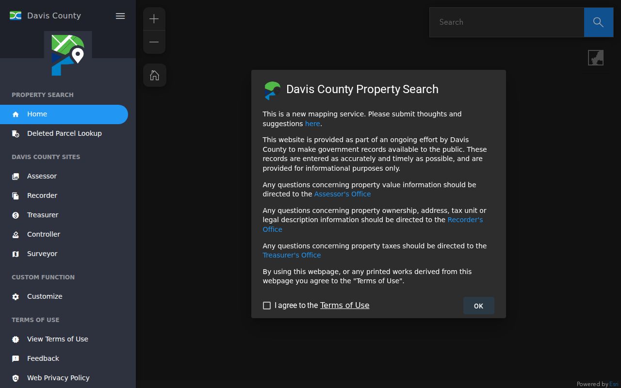
That view supports a reproducible query. Save the address entered, parcel returned, and whether the result was current or historical.
Property Search is also a handoff point. A parcel result can lead to the Recorder’s document-entry route, a GIS map, or Property Watch, but it should not be stretched into a list of occupants. If a street question concerns a city permit, use the Layton City address and date in CityInspect or the municipal GRAMA channel. If it concerns land, carry the parcel and legal description to the county record keeper.
Use Layton GIS for Parcel Context
The Davis County ArcGIS Portal is an interactive map environment. Begin with the target parcel, then read the road name, adjoining parcel IDs, subdivision or legal-description clues, and visible map layers. The research did not verify a text-documented click-adjacent, radius, export, or owner-display workflow, so those controls should not be promised as fixed features.
A map shows geography. It does not establish who is inside a home or whether an owner occupies the parcel. Record the map date, legend or layer title, parcel ID, and the street segment in view. For a neighbor question, hand the parcel IDs to the Recorder or Property Search rather than inferring a person from proximity.
Layton Street Directory Entry Trail
Davis County Recorder context reaches to 1850, the historical land collection begins in 1870, and computerization and microfilming began in 1981. These are office markers, not a guarantee that every Layton image is online. REDI-Web searches name, address, parcel, or document number and can provide document images, plats, surveys, abstracts, and print or download functions.
For a street record, list each document entry tied to the parcel. Capture document type, recording date, indexed parties, legal description, subdivision or lot/block text if shown, related entries, image availability, and whether the copy is ordinary or certified. Search a grantor, the party conveying an interest, and grantee, the party receiving it, only after the parcel is anchored.
REDI-Web costs $25 per month plus download or other fees. The Recorder lists $1 for an online digital-document copy, $2 per page for in-person or mail copies, and $5 certification plus $2 per page. The Recorder does not conduct title searches or give legal advice.
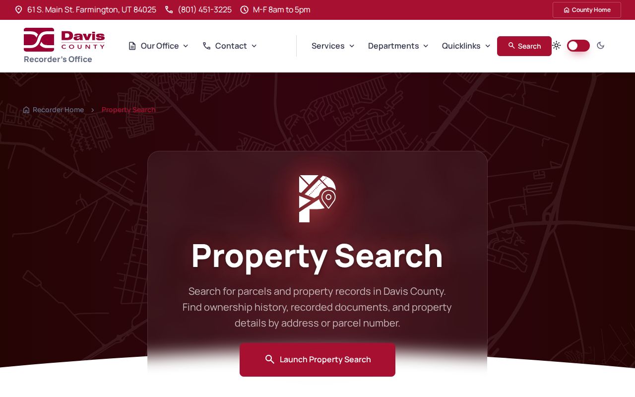
See the Davis County recorder property-search page for the documented search routes.
Plats Explain a Layton Block
A subdivision plat can explain why several Layton addresses share a development name or why access is described across parcels. Preserve subdivision name, plat page, lot and block text if displayed, recording date, survey reference, and image number. A plat describes land relationships; it does not prove current occupancy or a personal relationship between owners.
Recorded easements and shared-access language can account for a driveway or road connection that looks like a neighbor link. Read those terms with the legal description. When a modern street label fails in an old source, retain the earlier place name and ask the county or city for a targeted addressing crosswalk. No verified comprehensive Layton street-renumbering table was found.
Layton Street Names Changed with Time
Old address research must allow for Kays Ward, Freedom, Kaysville, Layton, East Layton, and Laytona. Heritage Museum history places the post-office name Layton in 1886, separation from Kaysville in 1907, and incorporation in 1920. Newspapers may use a ward, park, court, or development name instead of a number.
Try a current street, the historic place label, and the neighborhood term together. Hill Villa, Skyline, Ellison, Verdeland Park, O-Court, H-Court, and Little Scotland are useful clues from museum and oral-history material. Confirm the result with parcel or legal-description evidence. The research found no official street-renumbering or annexation-to-address crosswalk.
Layton Street Permit Leads
Layton City’s Building Division describes a fully digital process through CityInspect. An account can submit applications and plans, track status, and request inspections. The public page does not expose a complete historical name or address result schema, so a permit mention should remain a lead rather than a guaranteed searchable street record.
When requesting a municipal permit, give the exact address, approximate date, application or permit type, and desired inspection or plan record. Layton City’s general GRAMA form is not the police-record form. A city response may disclose, redact, refer, or say that a record is not maintained.
Address Terms Worth Keeping Straight
Four terms recur in a careful street directory search. They keep map evidence, land evidence, and person evidence from being mixed together.
- Parcel
- A mapped land unit identified by a serial number.
- Situs address
- The physical location tied to the land.
- Plat
- A recorded map showing a subdivision, lots, blocks, or access relationships.
- Criss-cross directory
- A historical directory organized by address or street instead of only by surname.
A mailing address tells where correspondence goes. It should not replace the situs address in a property or street analysis.
When a street record is incomplete, ask for one identified document rather than a broad search. Give the parcel or serial number, full situs address, likely parties, approximate date, and the desired document or copy format.
That narrow approach also respects the county’s division of work. The Recorder can locate an identified filing, the Assessor can explain an informational property result, and Layton City can answer a municipal permit request. A public terminal or staff handoff is an access channel, not a promise of a searchable whole-street list.
When no online result appears, rerun the address with a directional, suffix, unit, or historic city label. Then try the parcel number. A documented no-result should state which source was searched and whether the expected record may be request-only or not indexed.
Property Watch Looks Forward
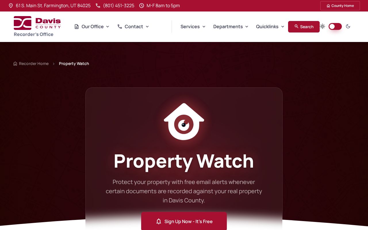
Davis County Property Watch is a free alert for a known parcel. Registration uses an email, parcel number in the displayed format, and the name exactly as it appears on property records. It can notify a subscriber about future recorded-document activity. It is not a full ownership history and does not turn an alert into proof of occupancy.
The Recorder’s March 2026 tutorial is also a consumer-safety clue. An unsolicited letter asking for a large payment for a simple copy should be compared with the county’s published fees and official phone number, (801) 451-3225.
Read the Davis County Property Watch page for the official alert route.
What a Layton Street Directory Cannot Show
A property record identifies a parcel relationship, not every person who may use the address. Household members, guests, and other occupants are not reliably indexed in public sources. DMV personal-address data is protected under the federal Driver’s Privacy Protection Act, and utility customer lists are not public substitutes.
Lawful use. Layton address records support property history, genealogy, reconnection, and civic research. Do not use them to stalk, harass, intimidate, or harm anyone.