
What Layton Block Records Show
A neighbor lookup should begin with the kind of evidence a block source can provide. GIS and property tools describe land and parcel relationships. A recorder plat can show lot, block, subdivision, and access language. An HOA registry shows an association’s legal name or alias. Voter products may contain public address fields, but the ordinary lookup requires a known person and complete details.
| Source | What It Shows About a Block | Access |
|---|---|---|
| Davis County GIS | Parcel geometry, roads, adjoining IDs, visible layers | Public interactive viewer |
| Property Search | Owner display, situs, mailing, legal description | Free public portal |
| Recorder plat | Subdivision, lot/block, easement, access relationships | Index plus copy fees |
| Utah voter data | Permitted public address and registration fields | Limited by privacy rules |
| Utah HOA Registry | Association legal name, alias, registration context | Free public search |
Owners are not the same as occupants, and adjacent parcels do not reveal personal relationships. Keep the map date, parcel ID, source, and access status. The evidence says what the custodian records, not more.
For a block note, list the target parcel first, then each adjoining parcel or legal-description relationship. Avoid publishing a name merely because a map makes two parcels look close. Distance is geography, not identity.
Map a Layton Block from One Parcel
The GIS route starts with a target address or parcel. The county’s property-search description confirms parcel boundaries and map/tax integration, but it does not publish a fixed nearest-neighbor query. The exact click-adjacent, buffer, owner-display, and export controls remained a research gap.
- Locate the address in the Davis County ArcGIS Portal and save the map date.
- Read surrounding parcel boundaries, road names, and parcel IDs that the public map exposes.
- Check each parcel in Property Search, keeping situs, mailing, owner display, and legal description separate.
- Use a recorder plat for subdivision or access context and do not infer a person from proximity.
- For a whole named street, switch to the Layton by-street workflow.
The block method ends at parcel context. A full street chain requires separate address searches, deed entries, and historical variants. Use Davis County Property Search for each parcel and the Recorder property-search route for identified plats or documents.
Access can continue at the counter when the map is not enough. Save the parcel ID and ask the Recorder for an identified plat or document, ask the county Clerk to route a public-record request, or send Layton City a narrow GRAMA request for a municipal map or permit by address and date. None of these channels requires the office to create a new roster of people near the target.
Why the Layton GIS View Needs Care
The Davis County ArcGIS Portal is dynamic. The inspected research confirmed an interactive parcel environment, but its complete layer names and field schema were not exposed in text. Do not promise a buffer, export, owner label, or neighbor button without seeing it in the live map.
Save the parcel ID, road names, legal-description clue, visible layer title, and date. If an adjoining parcel matters, use the Property Search and Recorder routes independently. A map is geographic context, not an occupancy record.
Keep a small map log for each Layton neighbor search: target address, parcel key, adjoining parcel keys, road or subdivision term, layers visible, source URL, and access date. That log makes it possible to tell a changed map layer from a changed parcel and prevents a later researcher from mistaking a drawn boundary for a person record.
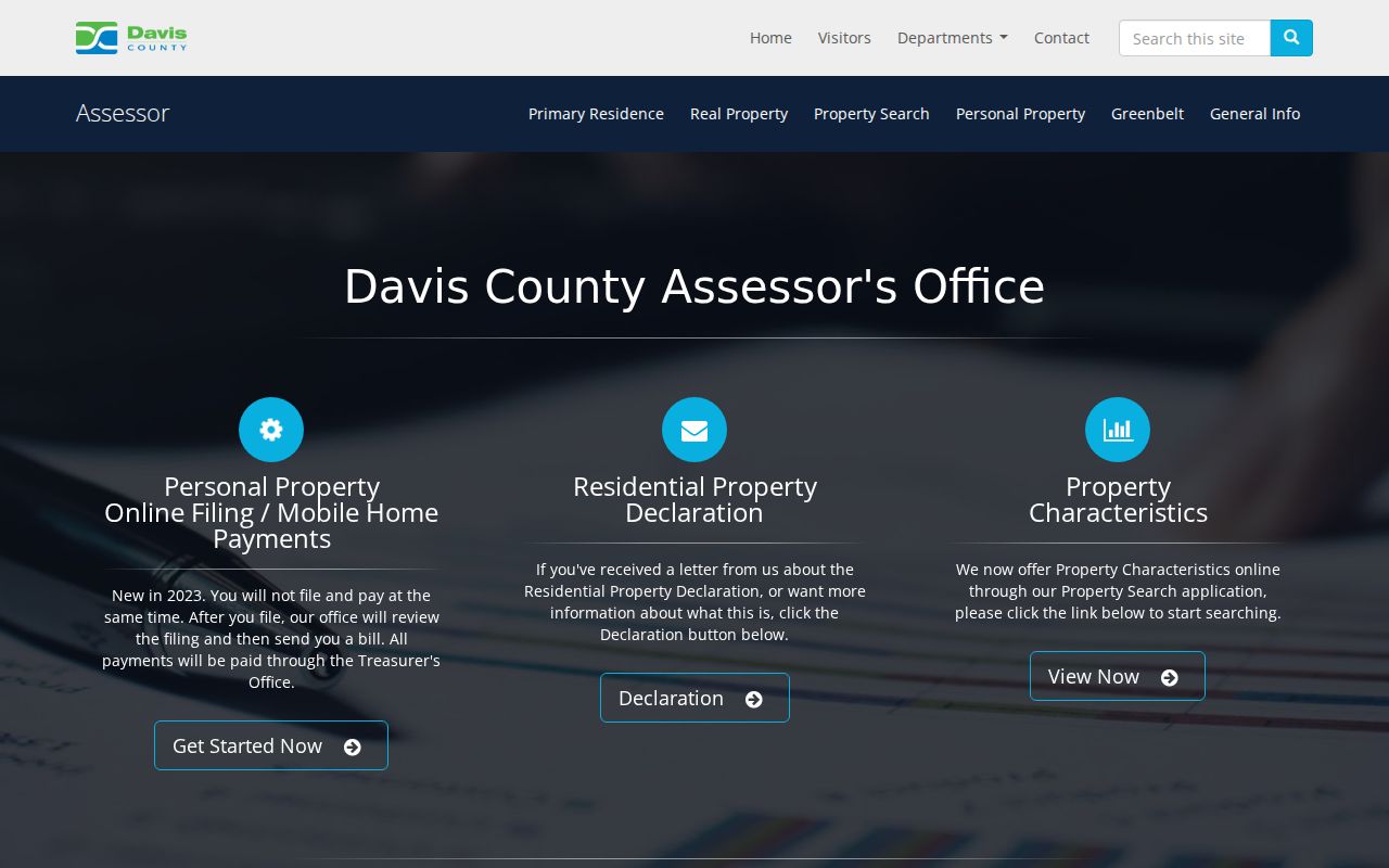
Review the Davis County Assessor for property context before opening the live parcel map.
Layton Neighbors in HOA Records
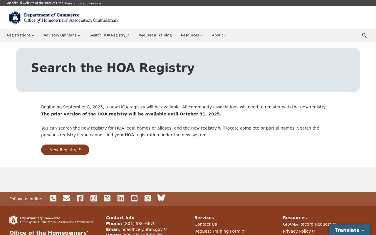
The Utah HOA Registry Search accepts a complete or partial legal name and an alias. The new registry began September 8, 2025, with a prior registry available through October 31, 2025. Searchers should save the legal name, alias, registration status or date, and the subdivision or community term exactly as displayed.
The registry is an organization source. It does not establish a member directory or prove that a household occupies a parcel. For current association contact information, use the registry’s official channel instead of extracting private individual details from a property result.
Search both the subdivision term and the association’s legal-name variant. The 2025 transition means an older result may sit in the prior registry while a newer result appears in the new system. Record which registry view was checked, the date, and whether the hit is an association registration rather than a person or parcel match.
Check the Utah HOA Registry Search for legal-name and alias matches.
Layton Neighbors and Shared Plats
Recorder plats and legal descriptions can explain why several addresses share a subdivision name or why a driveway crosses a parcel line. Preserve subdivision, plat page, lot/block text, recording date, and map image reference. A recorded easement can explain access without revealing a personal relationship.
Local vocabulary also matters. Verdeland Park, O-Court, H-Court, Little Scotland, Hill Villa, and Skyline appear in Heritage Museum and oral-history material. Use them as historical search terms, then confirm the place with a dated parcel or newspaper source.
Layton Commons Park replaced Verdeland Park in 1964 according to the city history. That kind of place change can help explain why a newspaper, oral history, and modern map use different neighborhood words for the same broad area.
Neighborhood terms are especially useful for historical neighbors. Search the term in the Davis County Clipper, Layton newspaper titles, or museum oral histories, then tie any address clue to a dated parcel or legal description.
The Davis County Library digital resources are a useful next channel for dated notices and local context when the map only shows land.
Layton Neighbors and Voter Limits
Utah Voter Search asks for first name, last name, date of birth, street address, city, and ZIP. It is not an unrestricted block search. A statewide voter-data product may contain public address, district, party, active/inactive, update-date, and vote-history fields, but protected or at-risk voters are excluded or anonymized.
Do not turn a permitted data product into a published neighborhood roster. Vote history identifies elections voted, not ballot choices. A record may be absent because of privacy status or a mismatch, not because a person has no connection to the block.
At-risk designation does not remove information from every database. Safe at Home likewise protects the program address path without erasing every historical reference. Route a sensitive question to the responsible custodian.
For current block work, preserve only the public fields needed for the question. Keep private contact details out of notes, and do not copy a whole map or record set merely because the interface makes it visible.
A city or county request can ask for a narrow plat, permit, or map record by address and date. It should not ask an office to create a new list of every person near a house. Custodians release records they maintain, subject to classification and privacy rules.
Layton Neighbor Sources Compared
Official parcel and association sources name the custodian, date, record type, and access limit. Commercial neighbor tools may merge data, use stale addresses, hide source dates, charge for reports, or combine same-name people. They can suggest a lead, but they do not replace Davis County, Utah elections, Utah Commerce, or the Recorder.
A strong block note can be short: target parcel, adjoining parcel IDs, map date, source URLs, and the specific fact each source supports. The note should not claim a household roster when the sources only show parcels or association registration.
Community context can come from Davis County Library newspapers, Heritage Museum photographs and oral histories, Utah City Directories, or the Utah Historical Society. These resources may name a civic group, development, or event connected to a block. They are historical clues, not current member lists.
For a live address question, start with the public map and property record, then stop when the source’s boundary is reached. A careful neighbor search is more useful when it states what remains unknown.
The community layer can remain historical or organizational. Davis County Library newspapers and Heritage Museum oral histories may name a development, event, or civic group, while the HOA registry identifies an association’s legal record. Those channels enrich a Layton block history without turning an association, newspaper notice, or map label into a current resident list.
| Question | Official route | What it can establish |
|---|---|---|
| Which land is adjacent? | Davis GIS | Parcel geometry and map context |
| Who is recorded with land? | Property Search / Recorder | Owner or recorded-party relationship |
| What association exists? | Utah HOA Registry | Legal name or alias registration |
Privacy Limits on a Layton Neighbor Search
Household members, guests, and other occupants are not reliably indexed in public property sources. Utah’s Safe at Home program supplies a substitute address and mail forwarding for qualifying safety situations, while at-risk voter designation can limit disclosure in voter records. Utility, delivery, and DMV personal-address information are not public substitutes.
Lawful use. Neighbor research supports getting to know a block, genealogy, reconnection, and personal safety awareness. Never use it to watch, stalk, harass, intimidate, or harm anyone.